Collins Cap
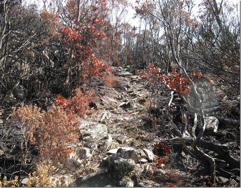
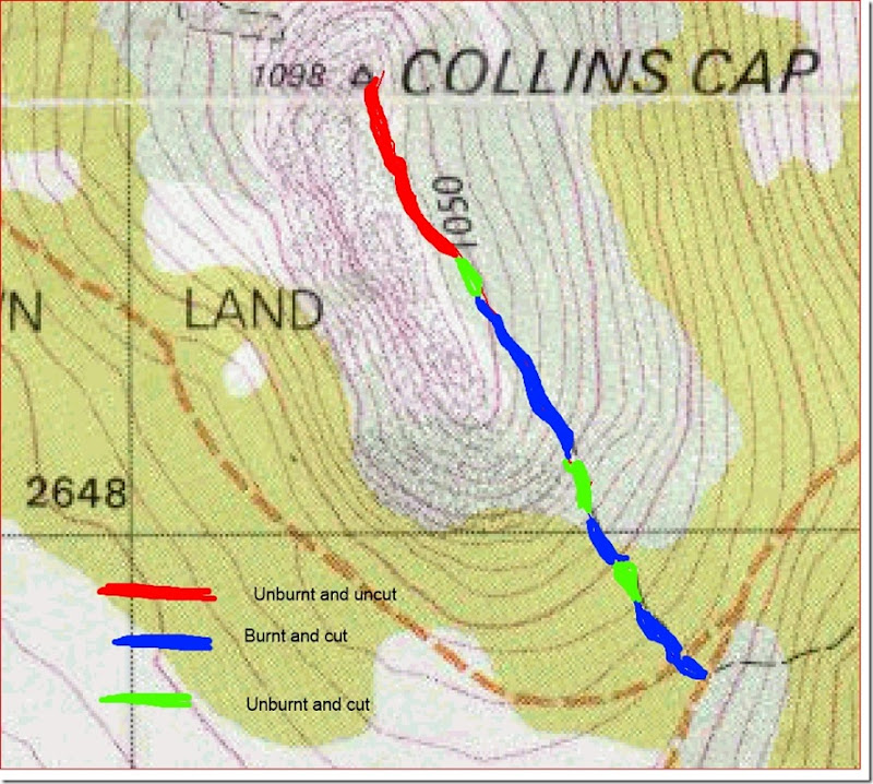
The steady and at times steepish track from Myrtle Forest is taken to the junction with the Collins Cap Fire Trail. A short section of the bush track to Collins Cap is then taken until reaching the old Glen Dhu fire trail. From there the track continues up the slope until a short steeper section is reached which is a bit eroding. Once above that the angle diminishes and eventually sidles below a ridge top to the final short ascent of the peak. It is about 800 metres from the Collins cap Fire Trail to the summit. Just prior to the fire which started on 6 February 2013 the Wellington Park Bushcare Group had cleared three quarters of the track plus a thick section below the Collins cap fire trail. Much of this was in fire path but it probably has meant that track avoided having a lot of burnt debris to push through. Ironically the fire stopped just prior to the end of the work. The last 190 metres of the track is somewhat overgrown though easy enough to walk on, unless there is snow.
It will be interesting to observe the regrowth in the area over the next few years.
Part of the burnt track
Burnt bush at the Glen Dhu junction
The track above the fire trail
Map of track


Comments