Long Marsh Dam
Location Eastern Tiers
Route Summary Level short walk to a historic convict era site
Walk Description
From the road the track is a wide being a 4wd type and is fairly level to a point where it drops to a weir on the Macquarie River. At the high point though there is a marked walking track going to the ruins of the probation station. Quite a number of the remains of buildings are there and it is interesting to wander about the site. Part way along a side goes east to overlook the dam site and the embankments built on both sides by the workforce. Another very short side track goes to a grave.
Last Updated  Saturday, 2 April 2016
Route Grade Short and relatively easy
Route Distance Klms 4.5
Days 1
Time Hours allow 3 hours to see most of the site
Related Links
Google Bushwalks Blog which includesa bit of the site history
Photo album

Route Summary Level short walk to a historic convict era site
Walk Description
The most direct route is Honeysuckle Road from Ross, a distance of about 44k.
The road leaves the Tooms Lake Road about 18k from Ross and is initially a low standard but not
overly rough gravel road for a large part of the distance, but does become rougher over the last third of the
way. The former bridge over the Macquarie River no longer exists and ends at a rock barrier just prior to the
river. A track leaves the road at the bottom of a dip a few hundred metres before the barrier (at S42° 08.8216
E147° 49.5031) and this gives an easy walk to the ruins of former settlement for the construction workers.
The dam site can also be visited from this western side of the river. A GPX file can be downloaded.
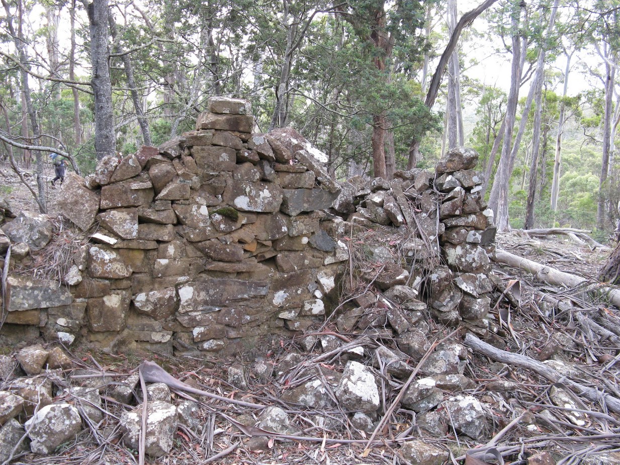 |
| Ruins at probation station |
 |
| Coffer dam |
From the road the track is a wide being a 4wd type and is fairly level to a point where it drops to a weir on the Macquarie River. At the high point though there is a marked walking track going to the ruins of the probation station. Quite a number of the remains of buildings are there and it is interesting to wander about the site. Part way along a side goes east to overlook the dam site and the embankments built on both sides by the workforce. Another very short side track goes to a grave.
The river can have crossed at the weir or at the embankment, although that is steep, and a sandstone
quarry visited and coffer dam and Long Marsh itself.
Map Colonels 1:25Last Updated  Saturday, 2 April 2016
Route Grade Short and relatively easy
Route Distance Klms 4.5
Days 1
Time Hours allow 3 hours to see most of the site
Related Links
Google Bushwalks Blog which includesa bit of the site history
Photo album
Comments
We tried to get to the dam site from Ross via Honeysuckle Road. in November 2017. Someone has [illegally ?] placed some large rocks on a cutting in the road near the dam site which made the road impassable. There was no signage and we were not sure how close we were to the dam, so disappointingly we had to turn back. Checked with a farmer on return - he said that the obstruction should be cleared by council as the roads are essential fire fighting access.