Lagoon of Islands
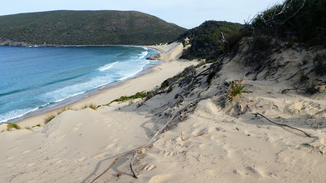
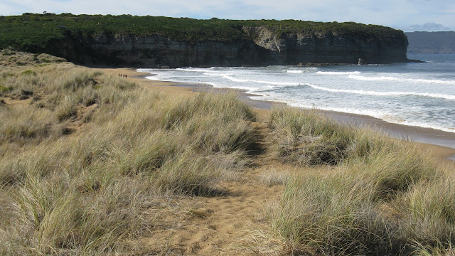
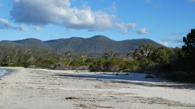
Originally it was a wetland with islands of floating vegetation but was flooded when a dam was built in 1964 to supply water for irrigation to properties along the Ouse River. This ruined the environment, and it became nutrient rich and with the decaying vegetation the water quality was terrible. In 2013 the Hydro removed the dam and carried out remediation work and the lagoon is gradually improving. It is unknown if it will return to the natural state it originally was. The walk starts from the access road off Interlaken Road, and it is best to go in an anti-clockwise direction. This is the best way because the nicest parts of the circuit are found here, with good views over the lagoon and pleasant sandy sections. One spot had large eucalypts on what was virtually sand dunes and backed by an open area ending in a small shallow water body. A circuit is 12k and takes up the 4:15 if you have morning tea and lunch breaks. Apparently a track through bush beside the ;lagoon Lago