Mt Franklin
Route Detailed Description Friday, 10 July 2015 11:28:55 AM
Location Lake District
Route Summary Only a short walk but nicer than expected and good views from the summit.
Walk Description
A 4wd road goes reasonably close to the peak and is in good condition and apart from the final bit was suitable for 2wds. It was only from the junction of the lakeside road up a rougher road that a short rough bit was encountered. It is just over 1k up this narrow road from the junction and a good off the road parking spot exists.
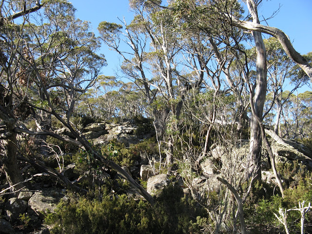
Soon after leaving the cars a length of open country heading towards the peak and can be followed until it ends and from there a gentle climb over either boulder country or light scrub brings you to a lookout and in a further 150 metres or so the summit. The views over Lake Sorell are surprisingly unobstructed and Mount Wellington can clearly be seen in the south.
From the car it was 1.5k each way and took 1:10 up and 1 hour back.
There are two road options from Oatlands, one leaving from there via Interlaken Rd is 30k and the other from Tunbridge via Tunbridge Tier Rd from Oatlands is 38k, with the part along Tunbridge Tier Rd itself being 16k of the total. The time either way seems much the same.
Once at the junction of the road around Lake Sorell it takes about 20 minutes along it for 7.68k.
The walk 1.5k each way 1:10 in and 1:00 back
Map Penny
Last Updated Friday, 10 July 2015 Start Point
General Comment No track and over rocks in part
Route Conditions Moderate
Facilities none
Route Grade Moderate
Route Distance Klms 3
Days 1
Access Tunbridge Tier Rd
Time Hours 2:30
Related Links
Google Bushwalks Blog
Jalbum
Route of walk
Access
Comments