Fenton Webster Track
Location Mt.Field Alpine Region
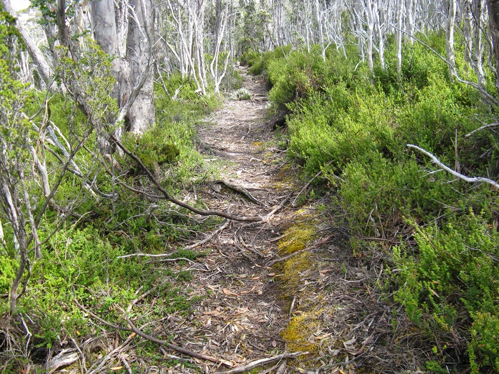
Route Summary The track is good and well graded. Kangaroo Moor is very pleasant with many flowers.
Walk Description
The track between Lakes Fenton and Webster is a favourite. Although in the high country it is a fairly protected from the elements and takes you along the side of Lake Fenton where initially there is Fagus then a variety of plant communities including Cheeseberry in flower and the Fagus relative, the evergreen Myrtle at the far end. Beyond is Kangaroo Moor where a lot of Boronia was in flower and also Baeckea. Up until the end of the moor it is almost level walking, but after crossing a creek it is downhill through shadier forest where the ground level vegetation is dominated by dense Bauera.

At the bottom of the track Boronia returns and there is the crossing of the Dobson outflow which soon after joins that from Lake Webster to become the Broad River. Soon after the crossing the track joins that from Lake Dobson and then the last little section on boardwalk to Lake Webster.
The track has been maintained by the Friends of Mount Field for a number of years and is good condition. If car is left at Lake Dobson a circuit walk can be done, either directly back up past Lake Seal or for a longer option via Tarn Shelf. Another option is to continue from Lake Webster up to Twilight Tarn and return to Lake Fenton or Dobson. It is 5.5k to Webster and approx. 2:10 one way
Map Dobson
Last Updated Wednesday, 21 January 2015
Start Point Lake Fenton car park
Introduction A moderate grade walk
Hazards
Route Conditions Parts of the track have uneven rock
Facilities
Route Grade MM
Route Distance Klms 5.5
Days 1
Access Lake Fenton
Time Hours 2:15
Related Links
Bushwalk Photos
Bushwalks Blog
Route Summary The track is good and well graded. Kangaroo Moor is very pleasant with many flowers.
Walk Description
The track between Lakes Fenton and Webster is a favourite. Although in the high country it is a fairly protected from the elements and takes you along the side of Lake Fenton where initially there is Fagus then a variety of plant communities including Cheeseberry in flower and the Fagus relative, the evergreen Myrtle at the far end. Beyond is Kangaroo Moor where a lot of Boronia was in flower and also Baeckea. Up until the end of the moor it is almost level walking, but after crossing a creek it is downhill through shadier forest where the ground level vegetation is dominated by dense Bauera.
At the bottom of the track Boronia returns and there is the crossing of the Dobson outflow which soon after joins that from Lake Webster to become the Broad River. Soon after the crossing the track joins that from Lake Dobson and then the last little section on boardwalk to Lake Webster.
The track has been maintained by the Friends of Mount Field for a number of years and is good condition. If car is left at Lake Dobson a circuit walk can be done, either directly back up past Lake Seal or for a longer option via Tarn Shelf. Another option is to continue from Lake Webster up to Twilight Tarn and return to Lake Fenton or Dobson. It is 5.5k to Webster and approx. 2:10 one way
Map Dobson

Last Updated Wednesday, 21 January 2015
Start Point Lake Fenton car park
Introduction A moderate grade walk
Hazards
Route Conditions Parts of the track have uneven rock
Facilities
Route Grade MM
Route Distance Klms 5.5
Days 1
Access Lake Fenton
Time Hours 2:15
Related Links
Bushwalk Photos
Bushwalks Blog
Comments